Historic Markers-Greer County OK
Renee
- posted on
- Comments Off on Historic Markers-Greer County OK

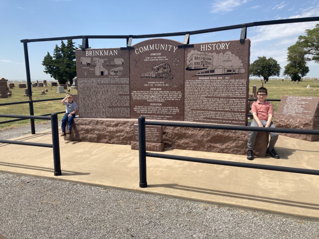
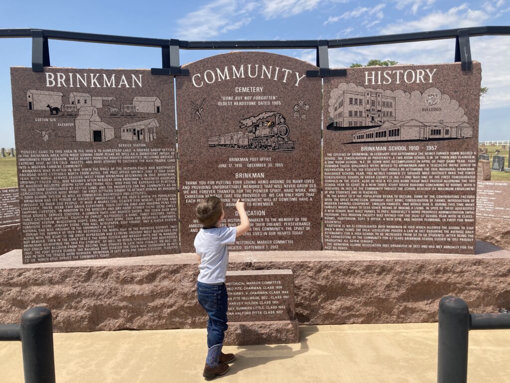
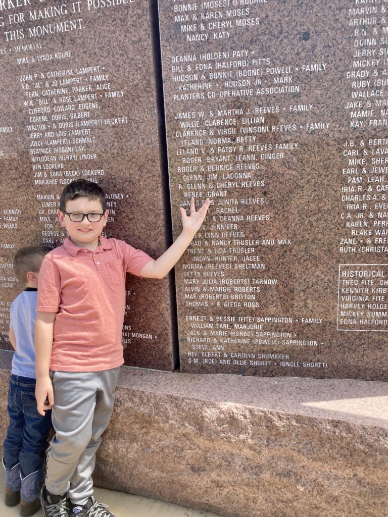
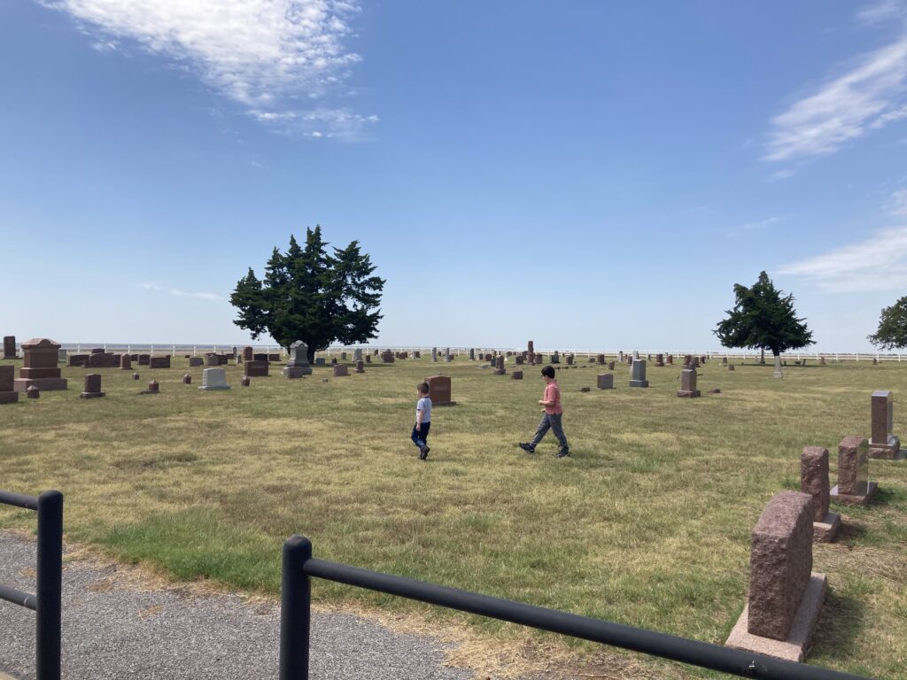
This afternoon we took a trip across Greer County to look for historic markers. The first marker that we came to is located at the Brinkman Cemetery, which is about 10.5 miles north of Mangum on US-283. Pioneers came to this area in the 1890’s to homestead land. A diverse group of people settled in this area with most coming from Texas as well as a significant influx of immigrants from Lebanon. These hearty pioneers braved adversities including extreme heat (we felt that today), bitter cold insects, and dust storms to cultivate the rich prairie land into a modern farmland community. Our own family has been a part of this community for over 100 years, and it was great to visit this monument and show our kids the names of family members carved into the granite monument.
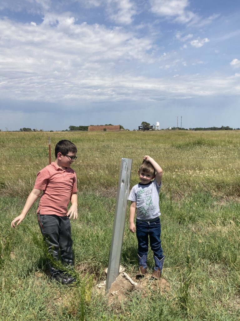
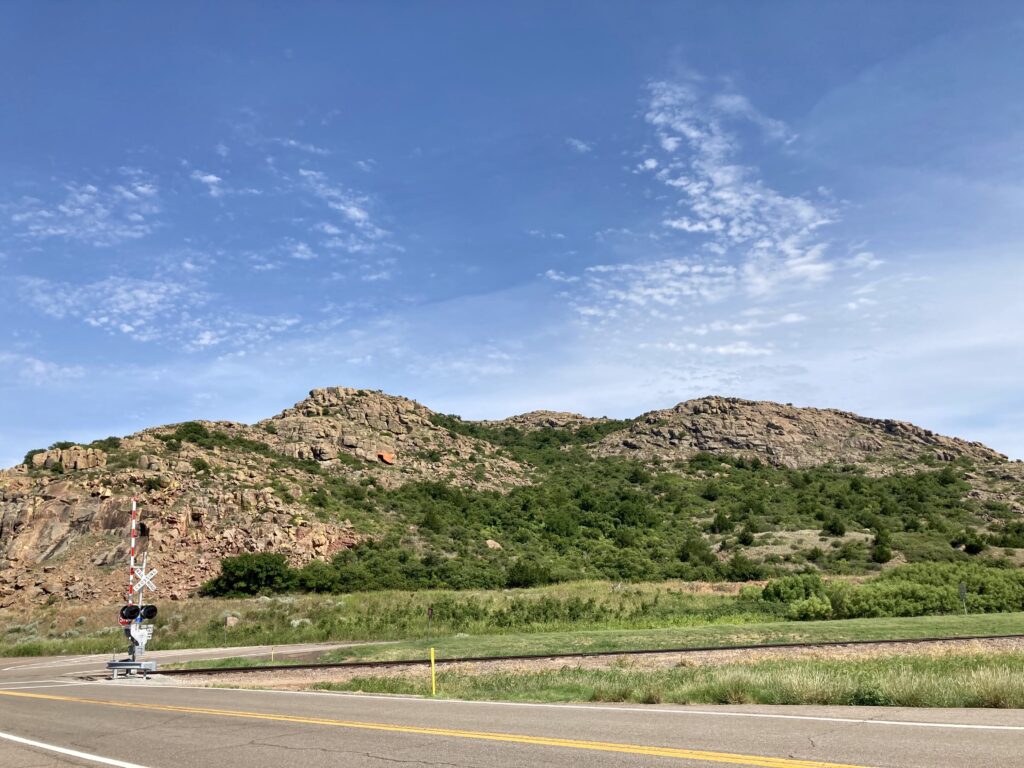
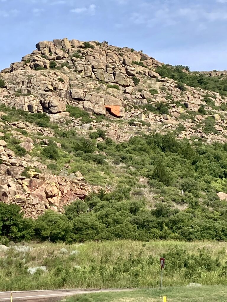
Our next stop was at the Atlas Intercontinental Ballistic Site, just north of the Brinkman Cemetery. Sadly, the monument had been destroyed due to a car accident. We were able to use the website https://www.okhistory.org to read information about this historical site. The US Government created the missile site to counter the Soviet Union’s threats during the Cold War. Twelve Atlas F Missile sites were built near the Altus Air Force Base between 1960 and 1962. The missile site here is just east of where the marker post now crookedly sits, housed inside the rusty looking barn in the distance. The missile site is on private property, so this is as close as we were able to get.
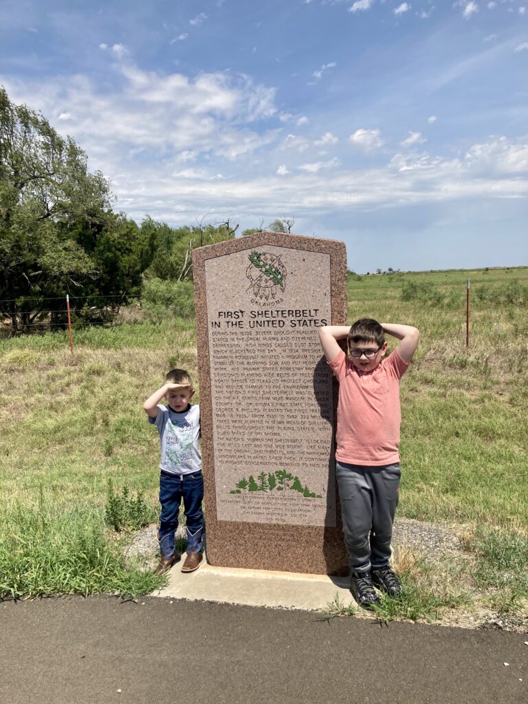
Our next stop was at the First Shelterbelt in the nation. As part of President Franklin D. Roosevelt’s program to stabilize blowing topsoil in the Dust Bowl, the Prairie States Forestry Project coordinated the planting of wide belts of trees from North Dakota to Texas. The first shelterbelt in the nation was planted on the H. E. Curtis farm near Mangum on March 18, 1935. For the next seven years more than 18,000 miles of shelterbelts were planted, including nearly 3,000 miles in Oklahoma.
Driving past the shelter belt, we made our way down the the Lake Creek marker.

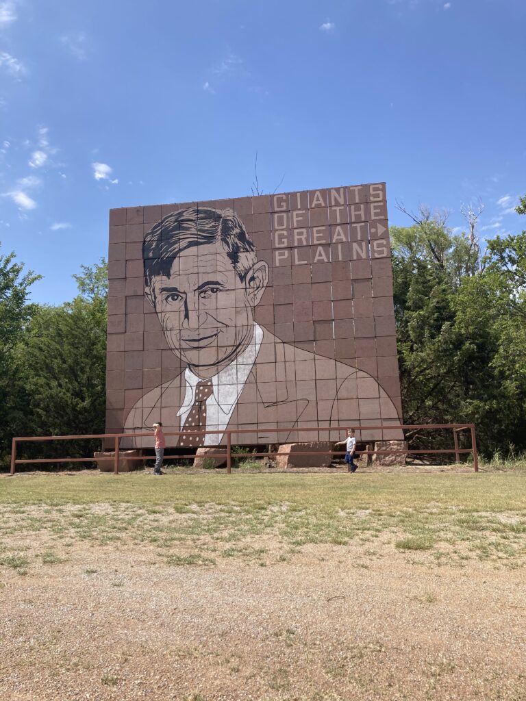
Pioneers settled the Lake Creek area beginning in 1898. The consolidated Lake Creek School served area children until 1957. The community included the oldest church in Greer County, the Lake Creek Baptist Church, founded in 1888. We weren’t able to get outside of the car at this marker, as there were a few roaming dogs that we weren’t sure if were friendly. So the adventure carried on until we made it to the town of Granite. The historical marker in this little town is very impressive… a gigantic 28’x30′ towering mosaic of Will Rogers stretches up in front of a row of trees.
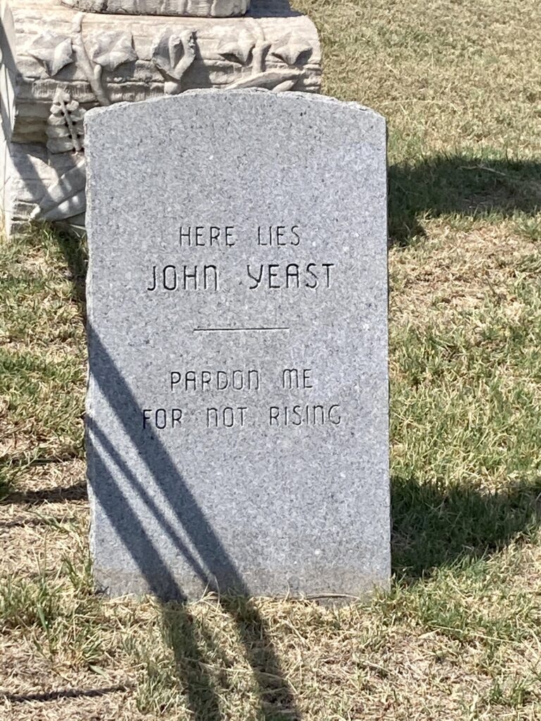
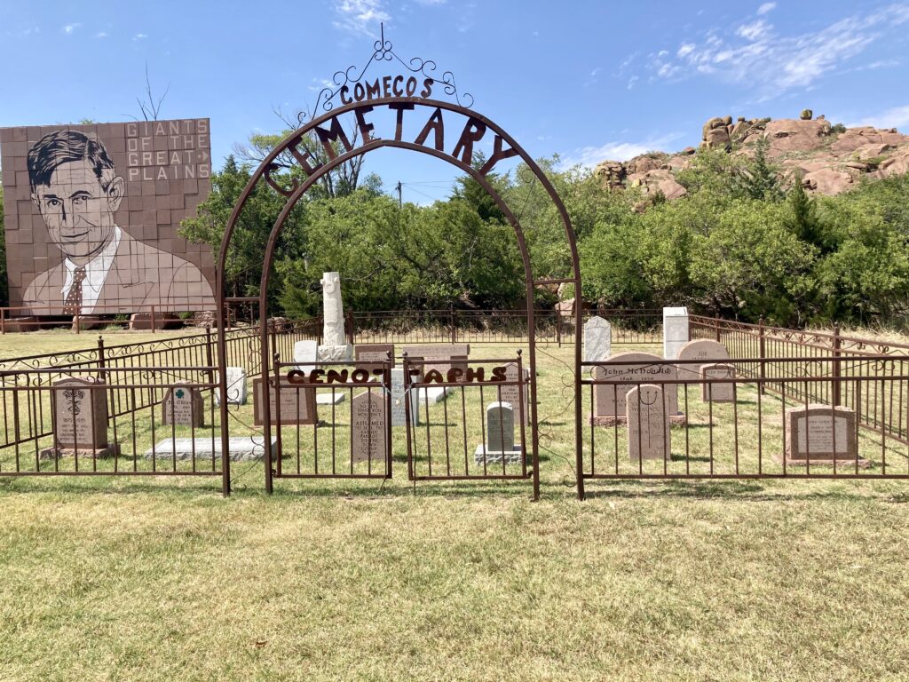
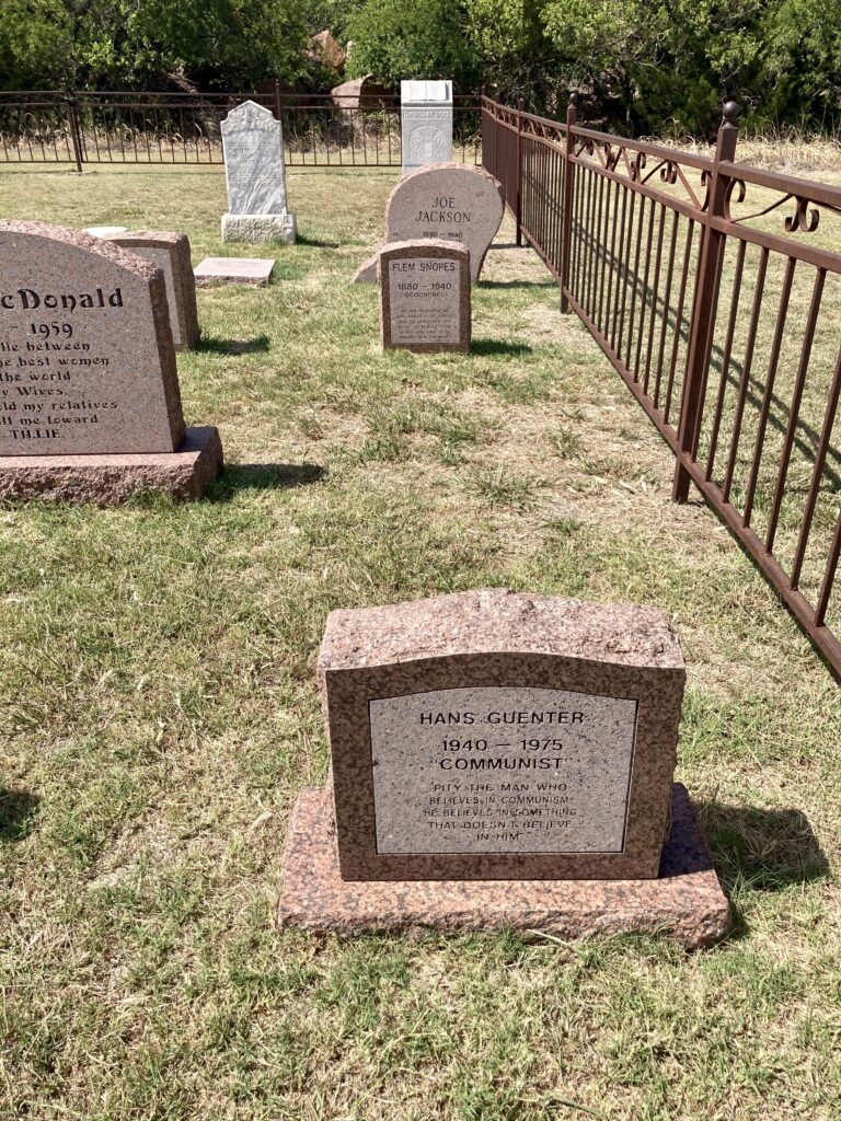
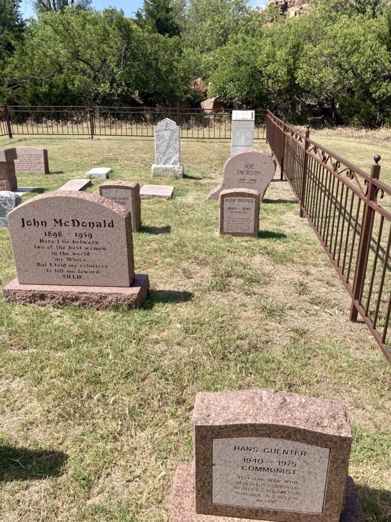
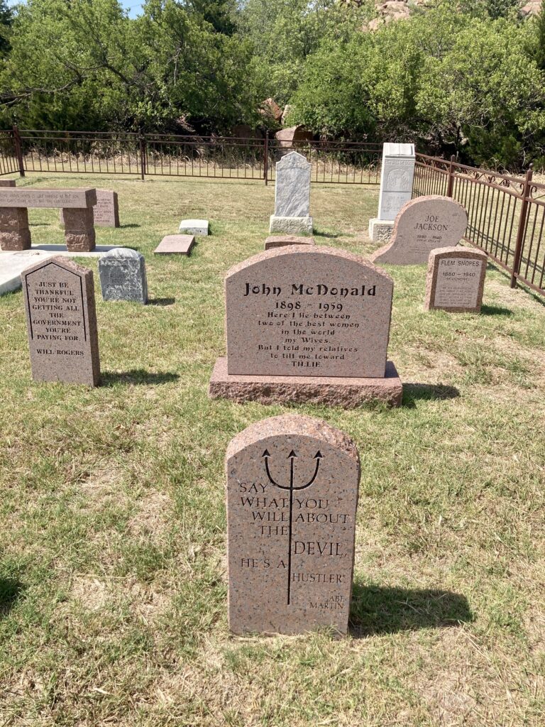
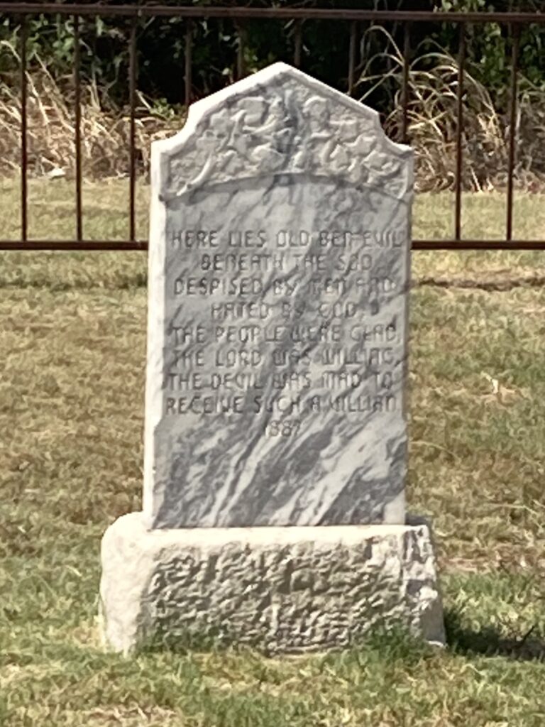
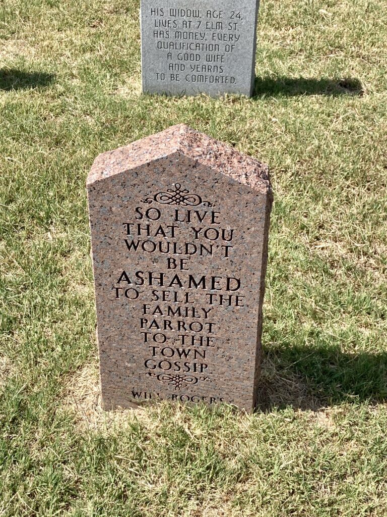
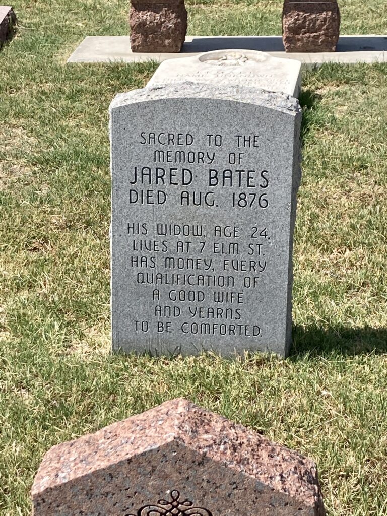
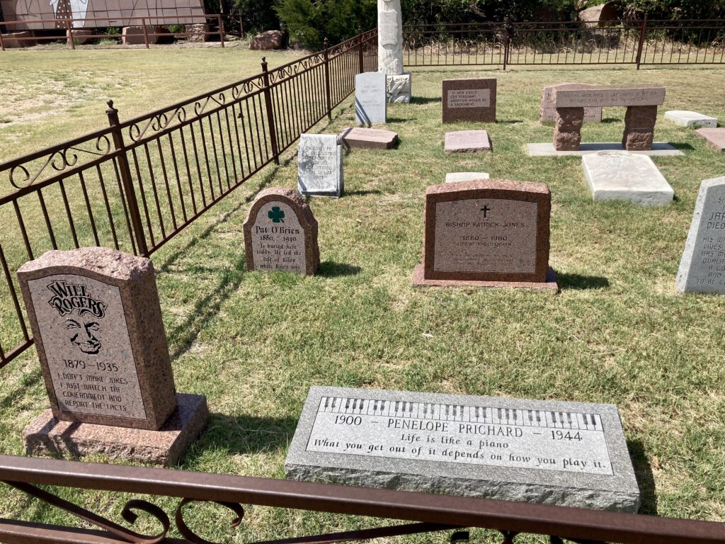
This massive monument isn’t the only cool thing to see, however. Just to the right of the monument, there is a tiny little cemetery. But this isn’t your typical little old cemetery…
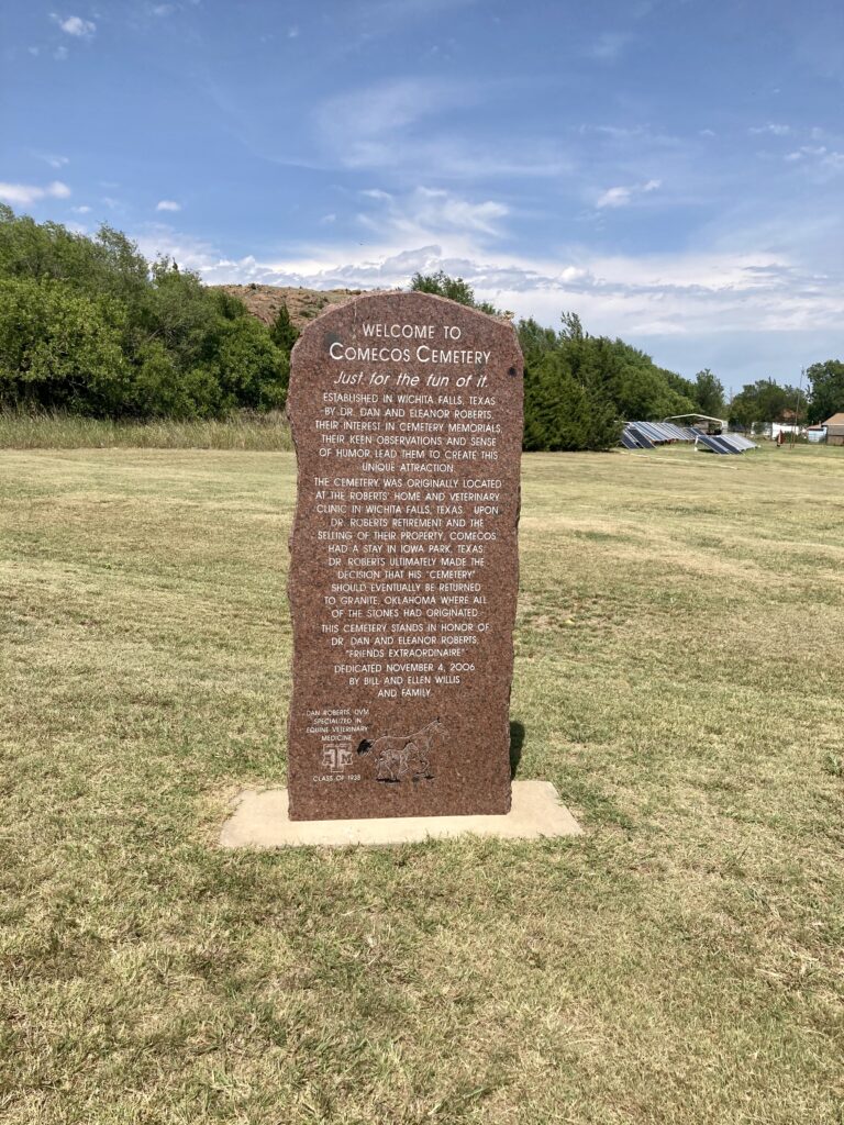
The cemetery was originally created by a veterinarian and his wife, Dan and Eleanor Roberts, at their home and clinic in Texas. He later decided to relocate it to Granite in Oklahoma, the town where the headstones originated from. The site was dedicated there on November 4, 2006.

Our next stop would take us to the junction of US-283 and OK-44. This historical marker is called “Peace on the Plains”.

One of Oklahoma’s most important peace conferences was held at the mouth of Devil’s Canyon on July 21, 1834. It was the first meeting between army dragoons, led by Colonel Henry Dodge, and Plains Indians, and the first formal contact between the federal government and the Indian tribes of the Great Plains. The dragoons camped a mile away from the Indian village that contained more than 200 grass lodges.
Our last stop took us to a familiar place… the lawn of the Greer County Courthouse.
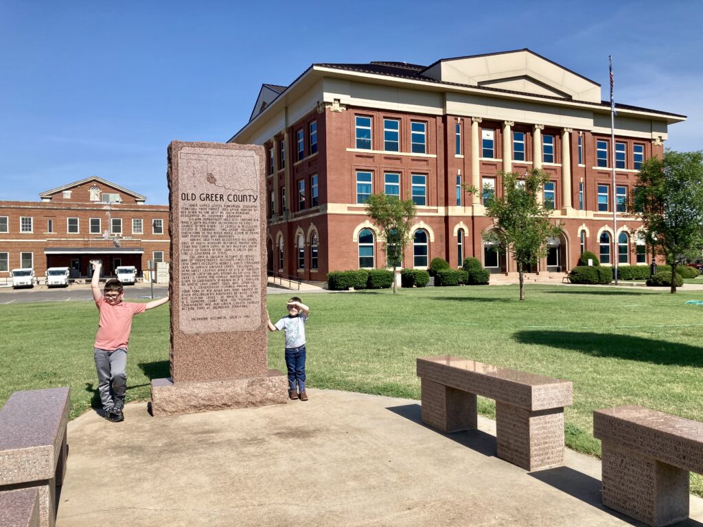
The North Fork of the Red River was originally the northern boundary of Spanish territory after the Louisiana Purchase of 1803. The area between the North Fork and the main stream of the Red River became Greer County, Texas. However, in 1896, the US Supreme Court ruled that the main branch of the river was the northern boundary of Texas and Old Greer County became part of Oklahoma Territory.
The Old Greer County marker concluded this leg of our adventure through Greer county. Wonder where we will go to next time?